Thinking about a move to Colorado Springs and wondering what daily life really feels like at 6,000 feet? You’ll find mountain views at the grocery store, trailheads on the edge of town, and a practical, suburban rhythm shaped by work, school, and the weather. In this guide, you’ll get a clear picture of neighborhoods, commute patterns, outdoor access, and the day-to-day details that help you settle in with confidence. Let’s dive in.
Everyday rhythm at altitude
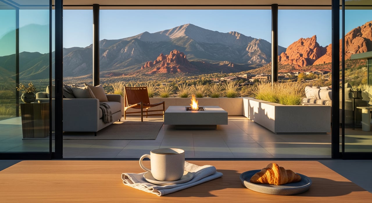
Colorado Springs sits around 6,000 feet, so you’ll notice thinner air, stronger sun, and drier conditions. Most people acclimate in a few days, but hydration and sunscreen become daily habits. Weather is semi-arid with four true seasons. You get lots of sunshine, quick changes from mountain storms, warm summers, and cold snaps with periodic snow.
Day to day, that means layering clothes, keeping a water bottle handy, and planning for occasional snow or ice. Winter tires or all-wheel drive can make a real difference after storms, especially in hilly or west-side neighborhoods.
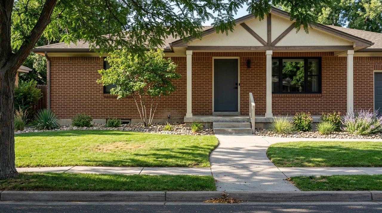
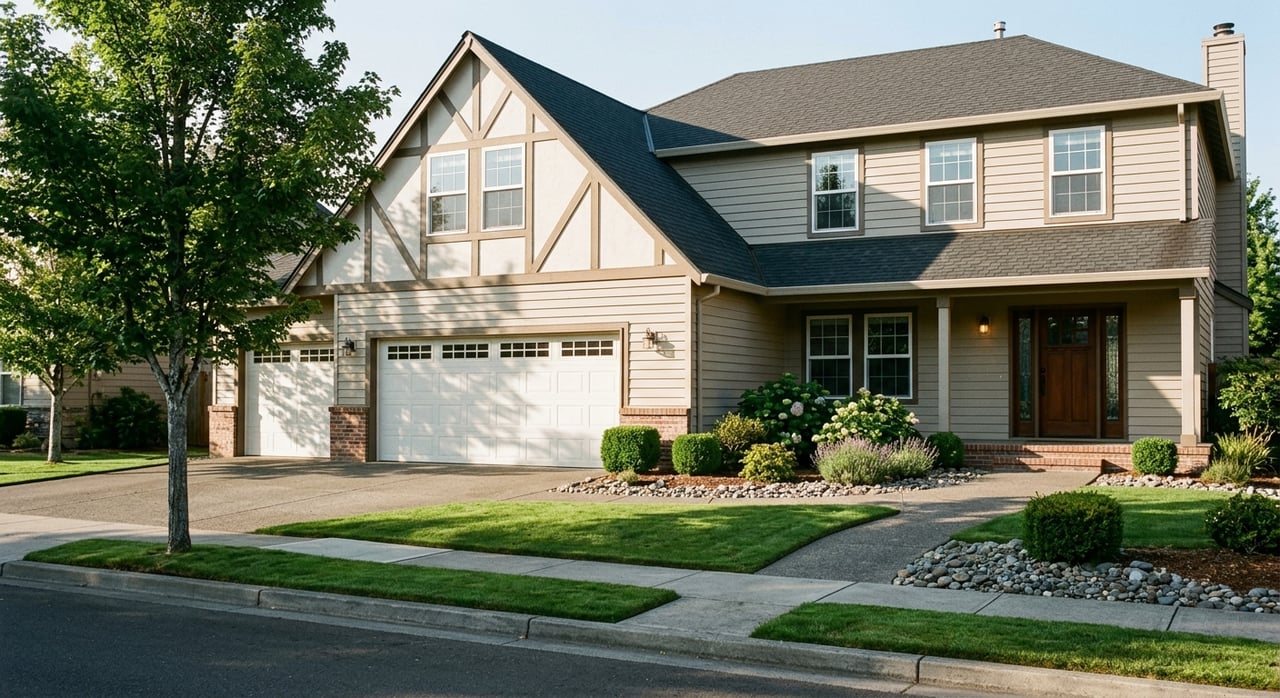
Neighborhoods by lifestyle
Picking a neighborhood comes down to your daily routine, commute, and the kind of community feel you want. Here’s how different areas tend to live on a normal weekday.
Downtown and central
You’ll find a denser, walkable core with lofts and condos near restaurants, cafés, arts venues, and Colorado College. Expect easy access to events and museums with limited parking during peak times. If you like walking to dinner and having city amenities at your doorstep, this area fits well.
Old Colorado City
This historic district on the west side offers a small-town main street with galleries, boutiques, and frequent events. It is very walkable with a village feel. Tourist activity picks up in peak seasons, but weekdays feel neighborly and relaxed.
West foothills and Manitou Springs
If trail access is your priority, west-side neighborhoods and Manitou Springs bring you close to red rock parks and mountain terrain. The vibe is artsy and outdoorsy with older homes and steeper streets. Parking can be tight on busy weekends near popular trailheads.
Broadmoor and Cheyenne Mountain
These leafy southwest neighborhoods have larger lots and quieter streets near the Broadmoor area and the Cheyenne Mountain Zoo. You trade a bit of distance from some city conveniences for quick access to canyons and state parks. Many residents choose this area for its calm, established feel.
Briargate and the north side
Planned suburban neighborhoods in the north offer parks, shopping centers, and a range of single-family homes. The daily rhythm is family-focused with straightforward access to northern employers. Commutes are practical for many who work on the north end of town.
Powers Corridor and the east side
This corridor delivers convenience, with mixed housing and retail close at hand. Powers Boulevard functions as a major north-south route that keeps errands and commutes simple. Home styles and prices vary, giving you options across budgets.
Nearby suburbs and exurbs
- Monument: Bedroom-community feel north of the city with newer subdivisions and easy I-25 access.
- Fountain and Widefield: Typically more budget-conscious options south of town with proximity to Fort Carson.
- Woodland Park and Cascade: Mountain communities west on Highway 24 with longer commutes and strong outdoor access.
Outdoor access in your week
Outdoor recreation shapes weekly life here. It is normal to fit in a short hike after work or a bike ride before dinner. Signature spots like Garden of the Gods, Red Rock Canyon Open Space, North Cheyenne Cañon, and Palmer Park give you miles of trails right in or near the city. Cheyenne Mountain State Park and other nearby state parks add broader trail systems for weekends.
Pikes Peak towers over the skyline and offers hiking via Barr Trail for ambitious days, along with a scenic highway for family drives. Winter brings easy weekend trips to ski areas within about an hour or two, so you can leave early, ski, and be back by evening.
Trail etiquette and parking matter on busy days. Arrive early, bring water, and have a backup trail in mind. Many parks have leash rules and dog areas, so double-check signs when you arrive.
Getting around and commuting
I-25 is the main north-south route through the city and on to Denver. Powers Boulevard on the east side acts as another major north-south corridor, and US-24 carries you west to Manitou Springs and up to Woodland Park. Peak congestion can hit I-25 northbound in the morning and southbound in the evening, with tourist traffic near key attractions during events and summer.
Citywide averages for one-way commutes often land in the low-to-mid 20 minutes in national datasets, but your time depends on distance, route, and weather. Mountain Metropolitan Transit serves core bus routes, though many outlying suburbs rely on cars. Regional buses connect you north along the Front Range, and rideshare is common in central areas. The Colorado Springs Airport offers convenient regional flights, with a smaller list of nonstop destinations than large hubs.
Schools, healthcare, and services
Multiple public school districts serve the area, including District 11 (central), Academy District 20 (north), Cheyenne Mountain District 12 (southwest), and districts serving Fountain and Widefield to the south. Each has its own enrollment policies and offerings. To choose confidently, review official district resources and school information directly.
Healthcare access is strong for a city this size, with major systems like UCHealth and Penrose-St. Francis providing hospitals and specialty care. For certain highly specialized treatments, some residents travel to Denver.
Colorado Springs Utilities provides electric, water, and gas service in much of the city. In adjacent communities, providers vary by address. Internet service can be cable or fiber depending on neighborhood, and satellite options help in rural or mountain-adjacent areas.
Safety and crime patterns vary by neighborhood. Central and some east-side areas may report higher property crime, while many suburban and mountain-adjacent neighborhoods report lower violent crime rates. Check official police resources and local neighborhood groups to understand current conditions for any block you are considering.
First-week checklist for newcomers
- Hydration and altitude: Keep water handy, wear sunscreen, and take it easy the first few days.
- Vehicle prep: Consider winter or all-weather tires and a compact emergency kit for snow days.
- Utilities: Confirm your electric, gas, water, and trash providers at your new address.
- Connectivity: Check fiber or cable availability, and plan for temporary hotspots if needed.
- Snow routine: Know your neighborhood’s snow-removal plan and any HOA guidelines.
- Parks and trails: Learn local leash rules and parking hotspots; try a close-to-home loop first.
- Community: Join neighborhood groups or community centers to learn about events and resources.
- Orientation: Map your daily routes to work, school, and grocery stores before the first big week.
Is Colorado Springs a fit for you?
If you want mountain views with practical suburban living, quick trail access, and a manageable commute, Colorado Springs delivers a balanced, outdoors-forward lifestyle. The right neighborhood depends on your routine, commute, and budget. When you are ready to compare areas side by side and understand current market dynamics, connect with a trusted local team.
Have questions or planning a move along the Front Range? Reach out to Front Range Collective to talk through neighborhoods, timing, and your next steps.
FAQs
What is day-to-day weather like in Colorado Springs?
- You’ll get four seasons with plenty of sun, quick shifts from mountain storms, and periodic winter snow, so plan for layers, hydration, and a simple snow plan.
Which Colorado Springs neighborhoods fit different lifestyles?
- Downtown and Old Colorado City suit walkable living; west side and Manitou favor outdoor access; Briargate and the north offer suburban convenience; Broadmoor and Cheyenne Mountain provide quiet, established areas; Fountain and Monument are popular suburban options near bases or I-25.
How long are typical commutes in Colorado Springs?
- Citywide averages often fall in the low-to-mid 20 minutes in national datasets, but your actual time depends on distance, route choice, weather, and peak traffic on I-25 or Powers Boulevard.
Is public transit practical for daily use in Colorado Springs?
- Mountain Metropolitan Transit covers core routes, but many suburbs rely on cars; regional bus options connect to other Front Range cities, and rideshare is common in central areas.
How close is outdoor recreation to most neighborhoods?
- Many neighborhoods back up to parks and open spaces, giving you quick access to trails like Garden of the Gods, Palmer Park, Red Rock Canyon, and North Cheyenne Cañon, with larger state parks a short drive away.
What should I know about schools in Colorado Springs?
- Multiple districts serve different parts of the city, each with its own enrollment and program options; review district resources and official school information to find the best match for your needs.
What are smart first steps after moving to Colorado Springs?
- Set up utilities, verify snow-removal details, check internet options, test your commute at peak times, and explore a nearby park to get a feel for daily life.